Parking GIS is a dealership lot simulator built for calibrating a real blueprint
overlay, defining working zones, and planning parking layouts on top of a live map of
the University Drive lot.
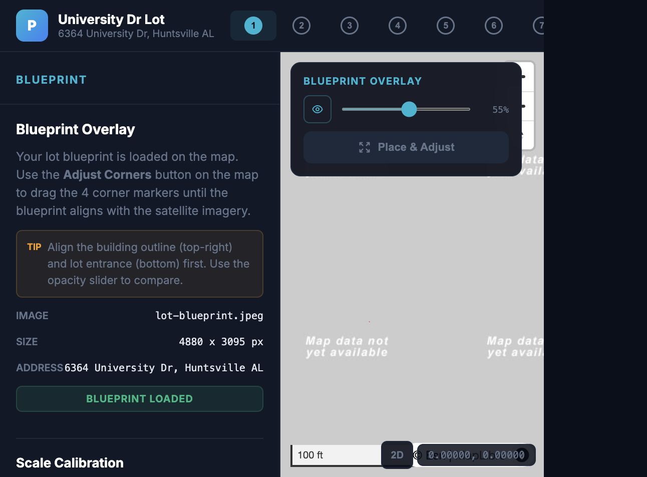
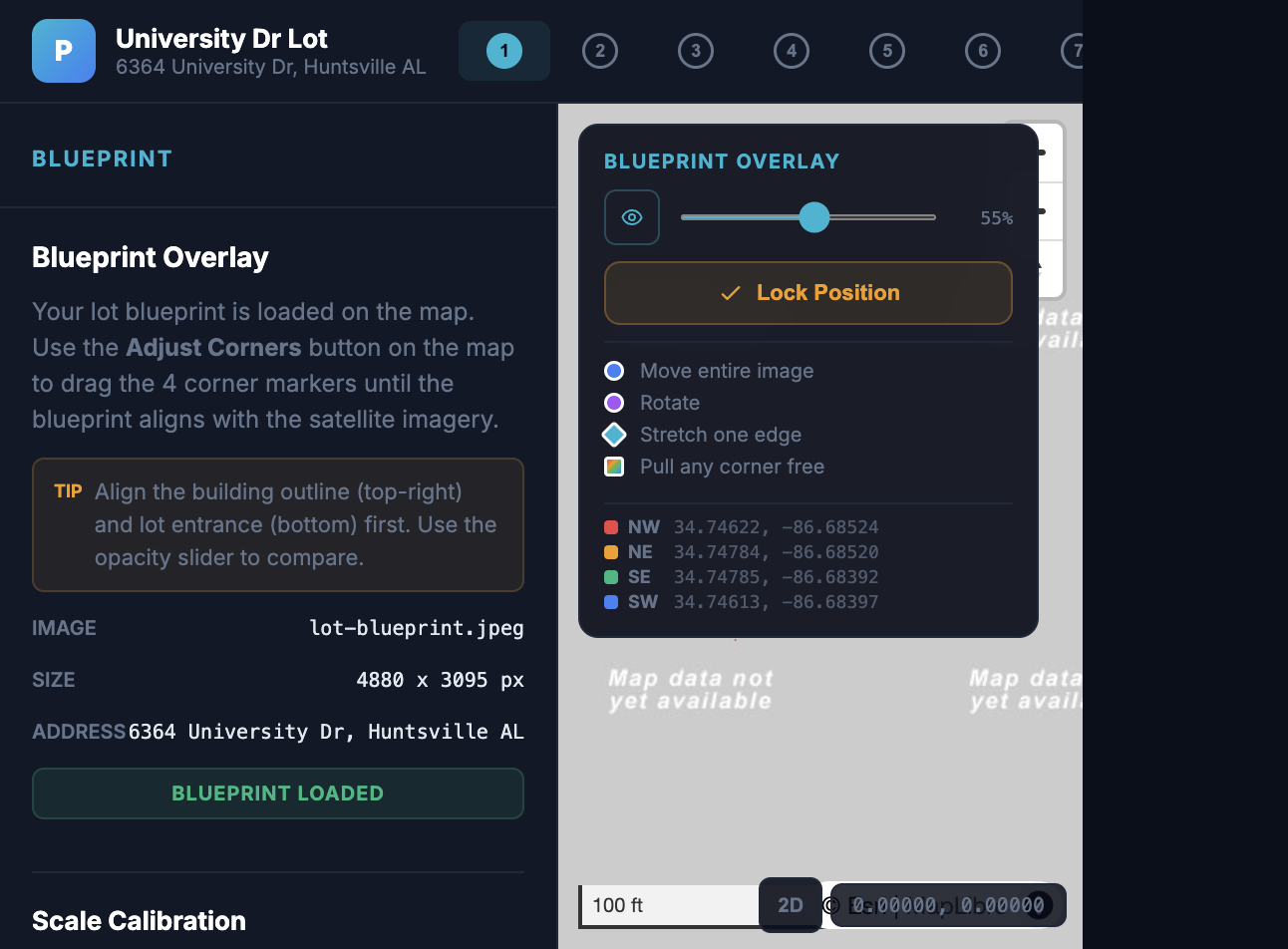
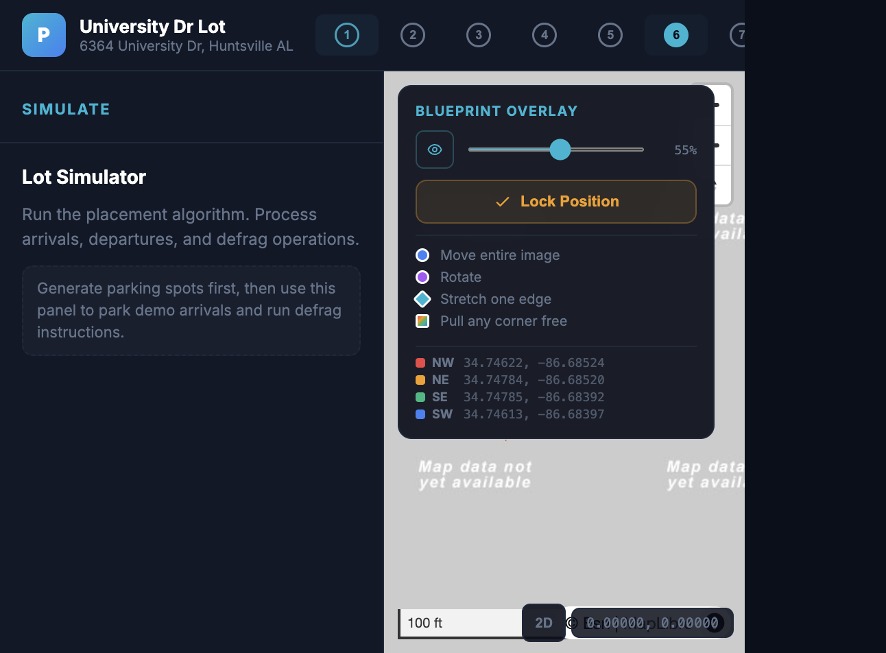
This strip uses real captures from the live app so visitors can see the blueprint
view, the corner-adjust workflow, and the simulator panel instead of relying on one
static preview.
What it is
A SvelteKit geospatial app that layers a dealership blueprint over satellite
imagery, then gives you tools to calibrate corners, sketch zones, place
obstacles, and generate parking spots with real-world coordinates.
What it solves
Lot planning usually gets stuck between static screenshots, rough estimates, and
tribal memory. Parking GIS turns the lot into an interactive planning surface so
spacing, circulation, and inventory layout can be explored visually before anyone
starts moving cars around.
How this portfolio version works
The portfolio build runs fully in-browser with no backend setup required. It keeps
the blueprint calibration and planning workflow interactive while using local
browser storage for lightweight persistence, so visitors can explore the tool
without needing an account or a server.
Good showcase moments
Start with the blueprint overlay controls, show how the corners can be adjusted to
match the real lot, then move into zoning and spot-planning to demonstrate how the
layout adapts to an actual dealership footprint.
Demo sequence
Tell the story in three moves.
Start with the blueprint controls to align the overlay against the real lot.
Switch into zone and obstacle planning to show how constraints are mapped visually.
Finish with spot planning so layout decisions feel operational, not theoretical.
Proof signals
What validates this concept fast.
The overlay workflow maps directly to a real dealership footprint.
Visitors can test the core planning loop end to end without signup friction.
The live map plus blueprint pairing demonstrates spatial context immediately.
Why it lands
Grounded, tactile, and easy to share.
A real dealership footprint makes the demo feel anchored in the actual workflow.
The combination of satellite imagery and blueprint overlay adds instant spatial context.
The browser build stays fast, portable, and simple to share during a product walkthrough.